Inspect the endpoint
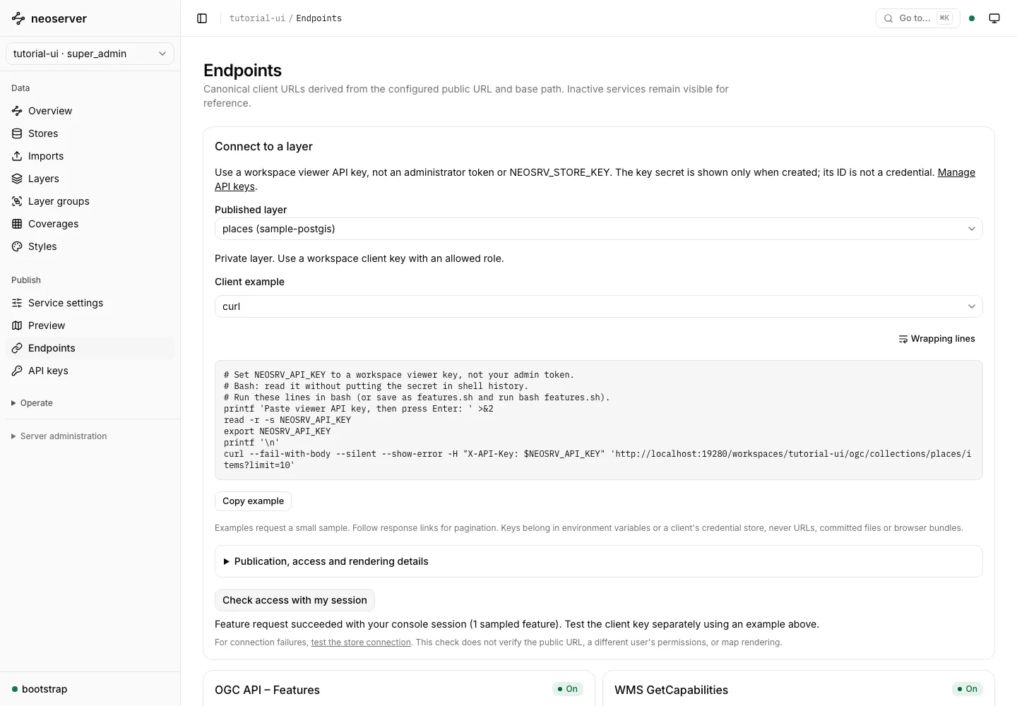
Open Endpoints and choose places in Published layer. The page shows the source, publication, protocol, and access state. Disabled protocols have inactive endpoints and Copy buttons.
Choose Check access with my session. A successful result verifies a feature request with your console session. It does not test a new application API key.
Connect QGIS
- Create a viewer API key and store its full secret.
- Select QGIS on the connection page.
- In QGIS, create an OGC API Features connection using the URL shown by neoserver.
- Create an API Header authentication configuration with header name
X-API-Keyand the viewer secret as its value. Select that configuration for the connection. - Connect and add
places.
This is a read/query workflow. QGIS WFS-T editing is not supported. Never include the key in the connection URL.
Connect an application
Select curl, JavaScript (server-side), or Python and copy the displayed example. Supply NEOSRV_API_KEY through the application’s secret storage. A successful OGC API Features response is a GeoJSON FeatureCollection.
The examples fetch a small sample. Follow response links for additional pages rather than assuming the first result contains the entire dataset.
Browser-based private maps need an authenticated backend route controlled by your application. Do not embed a workspace API key or administrator token in frontend JavaScript. The MapLibre example explains this integration boundary.
Diagnose a failed request
- A working console preview with a failing application request usually means credentials or permissions differ.
- A disabled protocol needs both global and workspace configuration.
- URLs with the wrong host indicate a
Server.UrlBaseor reverse-proxy configuration issue. - A feature request that succeeds while a map is blank calls for extent, CRS, and style checks.
Use troubleshooting and the relevant service documentation to narrow down the failure.